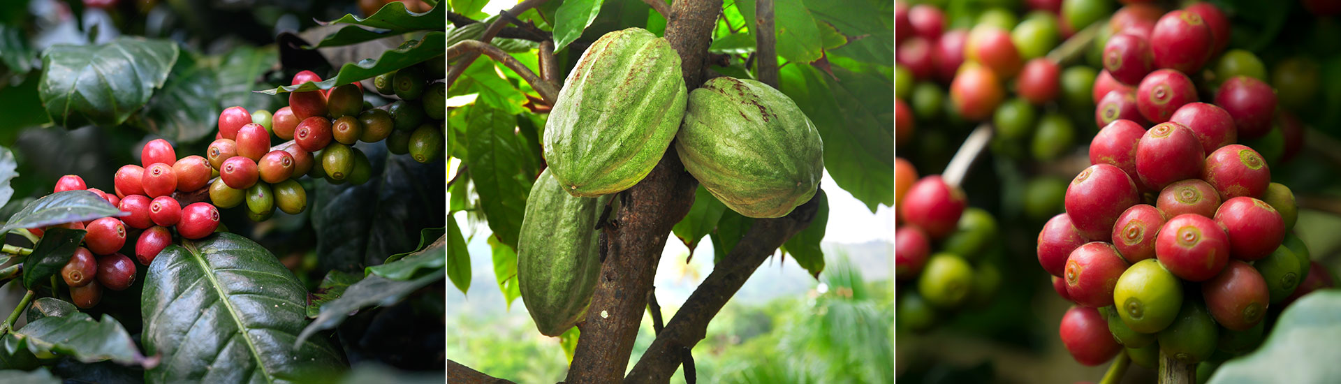
The European Union Deforestation Regulation (EUDR) is an initiative aimed at combating deforestation and forest degradation. The regulation introduces supply chain due diligence requirements for certain commodities, including coffee, cocoa, and their related products, whether they are imported into, supplied within, or exported from the EU. The aim of the legislation is to ensure that these products are both 'deforestation-free' and 'produced in accordance with the relevant legislation of the country of production'*.
The EUDR places specific obligations upon “operators” who import or process materials into covered products within the EU or export them as well as “traders” supplying covered products within the EU. These requirements are designed to demonstrate covered products entering, circulating within, or leaving the EU market are:
- Originated from land that has not been deforested after December 31, 2020.
- Produced in accordance with the relevant legislation of the country of production.
- Accompanied by a due diligence statement.
The due diligence process involves collecting specific prescribed information, including the precise geolocation of the plots of land where the relevant commodities were produced. For commodities originating from countries or regions not classified as low risk by the European Commission (EC), operators are required to perform additional risk assessments. If necessary, they must also undertake risk mitigation activities to ensure there is no or only a negligible risk of non-compliance with the EUDR.
In addition to these core requirements, the EUDR also mandates specific protocols related to due diligence processes and systems, record keeping, and data transparency. To enforce these regulations, National Competent Authorities (NCAs) of EU Member States are tasked with conducting checks within their territories to verify compliance among operators and traders.
The consequences of non-compliance with the EUDR are severe. Penalties can include fines of up to 4% of a company's total turnover within the EU, confiscation of relevant products, and temporary prohibitions on importing, supplying, or exporting relevant products to, within, or from the EU.
ICE CoT has been designed to help traders and operators comply with the EUDR while supporting continued trade-ability of cocoa and coffee.
*The terms ‘deforestation-free’ and ‘relevant legislation of the country of production’ are defined in the EUDR. Deforestation-free refers to land not subject to deforestation (conversion of forest to agricultural use) after 31 December 2020. Relevant legislation refers to laws applicable in the country of production concerning the legal status of the area of production in terms of: (a) land use rights; (b) environmental protection; (c) forest-related rules, including forest management and bio-diversity conservation, where directly related to wood harvesting; (d) third parties’ rights; (e) labour rights; (f) human rights protected under international law; (g) the principle of free, prior and informed consent (FPIC), including as set out in the UN Declaration on the Rights of Indigenous Peoples; (h) tax, anti-corruption, trade and customs regulations.