ICE CoT currently supports file upload in GeoJSON format, which is also the format currently required by the EU Information System for due diligence statement uploads. Future support for other formats will be decided upon based on user demand.
Required farm plot input data includes:
ProducerCountry
Two letter country code from ISO 3166-1 alpha-2. For example, “CI” for Côte d’Ivoire or “BR” for Brazil. Must match one of the values within the list of supported countries.
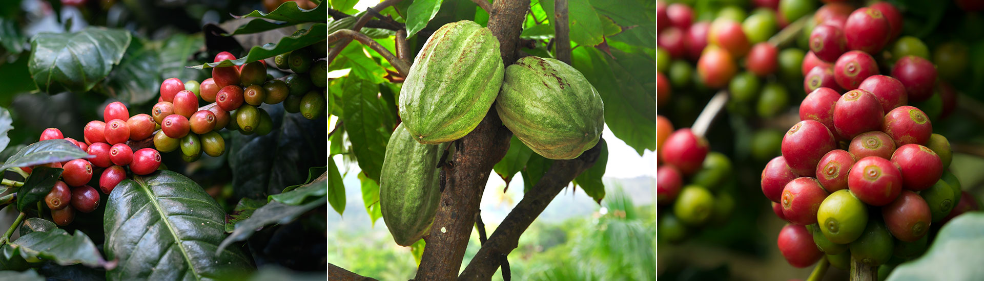
Commodity
"Coffee" or "Cocoa".
CTOFarmerID
A unique identifier for the farmer, assigned by the user. Multiple farm plots may be linked to the same farmer.
CTOPlotID
A unique identifier for the farm plot, assigned by the user. This field should be unique for each given ProducerCountry and Commodity.
DateofMapping
As details of a plot may change over time, this determines which version of the farm plot was current on a particular date.
Geometry
Either a polygon defining the outline/border of the plot or a point indicating a physical location within the farm plot.
Area
The area of the farm plot, in hectares. Where the geometry is a point, Area is required and must be no more than 4ha.
Optional data may also be added including ProducerName, NationalFarmerID, NationalPlotID, AggregatorIDs, DataProvider, and ProductionPlace.
Underlying documentation to evidence the uploaded information is required to be available for inspection and verification.
Farm plot data is not shared with a buyer or with other users except that: Geometry (plot polygon or geolocation point) is always shared with a buyer until due diligence statement creation, after which it is not shared; other farm plot data may be shared with a buyer at the seller’s option.
Farm plot data methodology tests
Farm plot data is subject to several tests under the Farm Plot Data Validation Methodology, including using forest mapping data from Space Intelligence and Meridia designed tests with protected agricultural area information and basic data consistency and reasonability tests including checks for deforestation and protected area proximity and overlaps. All required data fields must be supplied. Where farm plot data fails any test, that farm plot may not be used as an eligible production plot for any product consignment traceability. Test failures may be challenged by a user if the farm data is believed to be compliant. In in case of upload errors, the data can be corrected and re-uploaded. Some farm plot data tests (e.g. “Farm is extremely large”) have reasonability thresholds which may vary by country.
ICE CoT Farm Plot Data Validation Methodology test methods and thresholds are subject to continuous review and may be updated, removed or added to.
Space Intelligence accuracy & mission reports
- Farm has self-intersecting boundary segments
- Farm plot polygon contains holes
- Farm plot polygon is not closed
- Farm overlaps with forest
- Farm overlaps with protected area
- Farm plot is recorded as a geopoint with estimated size greater than 4ha
- Geopoint too close to deforestation
- Farm plot is distant from farm plots with the same Farmer ID
- Farm plot mapping date is far in the past
- Farm plot overlaps with other farm plot(s)
- Farm plot is duplicated with same Farmer ID
- Farm plot is duplicated with different Farmer ID
- Farm plot has a very unusual shape
- Farm plot boundary has spikes
- Farm plot is extremely large
- Farm plot is outside of country boundary
- Farm plot overlaps built-up area
- Farm plot overlaps water body
- Farm plot location time-series mismatch
- Inconsistent farmer data
Make the connection
Get in touch with a member of our team for more information on ICE CoT.